


26/02/2026
Specialists from the Spanish Cadastre assess the current state of Jordan’s land administration system and issue a report highlighting the strength of the country’s existing infrastructure.
A modern land administration system must coherently integrate spatial information (such as parcels, boundaries, buildings and official coordinates) with registry information relating to owners, rights, restrictions, transactions and associated documentation.
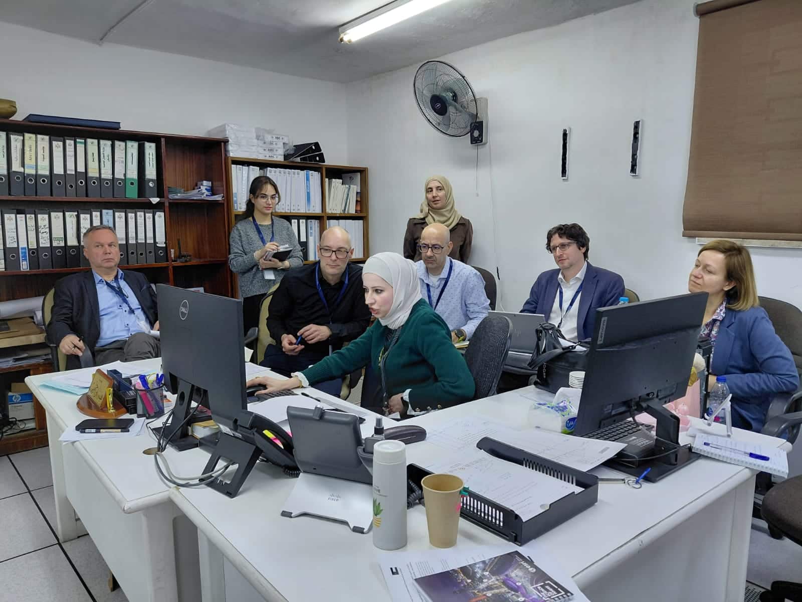
The proper structuring and linkage of this data is essential to guarantee legal certainty, protect property rights and reliably manage real estate transactions. It also enables the issuance of official certificates, the generation of statistical information, the provision of electronic services, support for territorial planning and the interoperability between institutions. In this context, within the framework of the Twinning Project “Strengthening the Land Administration Framework in Jordan”, funded by the European Union, experts from the Directorate General for Cadastre carried out a technical mission in Amman to assess the current status of the system of the Department of Land and Survey.
The project aims to improve interoperability, enhance the quality and reliability of registry and cadastral information, and move towards a more efficient, transparent and service-oriented land administration system.
During the mission, conducted in cooperation with the Jordanian authorities, the functional and technical architecture of the system, the GIS (Geographic Information Systems) and registry systems, workflows, infrastructure and governance mechanisms were analysed. The report highlights the robustness of the existing infrastructure and the transition towards the government system managed by the Ministry of Digital Economy and Entrepreneurship.
In this context, GIS systems play a central role, as they enable the storage, management, analysis and visualisation of geographic data. At the Department of Land and Survey, a platform is used to manage parcels, administrative boundaries, parcel points, buildings and geodetic reference systems. GIS constitutes the spatial foundation of the cadastre by linking the physical territory with legal and administrative information.
The report also points out the need to advance in modernising the data model, digitising historical archives and automating geospatial processes, as well as incorporating addresses and improving building data.
The modernisation of the system benefits citizens, public administrations and the State as a whole. For citizens, it means greater security of property rights and access to online services; for administrations, improved data and interoperability; and for the State, better governance and reduced land-related conflicts.