


20/05/2025
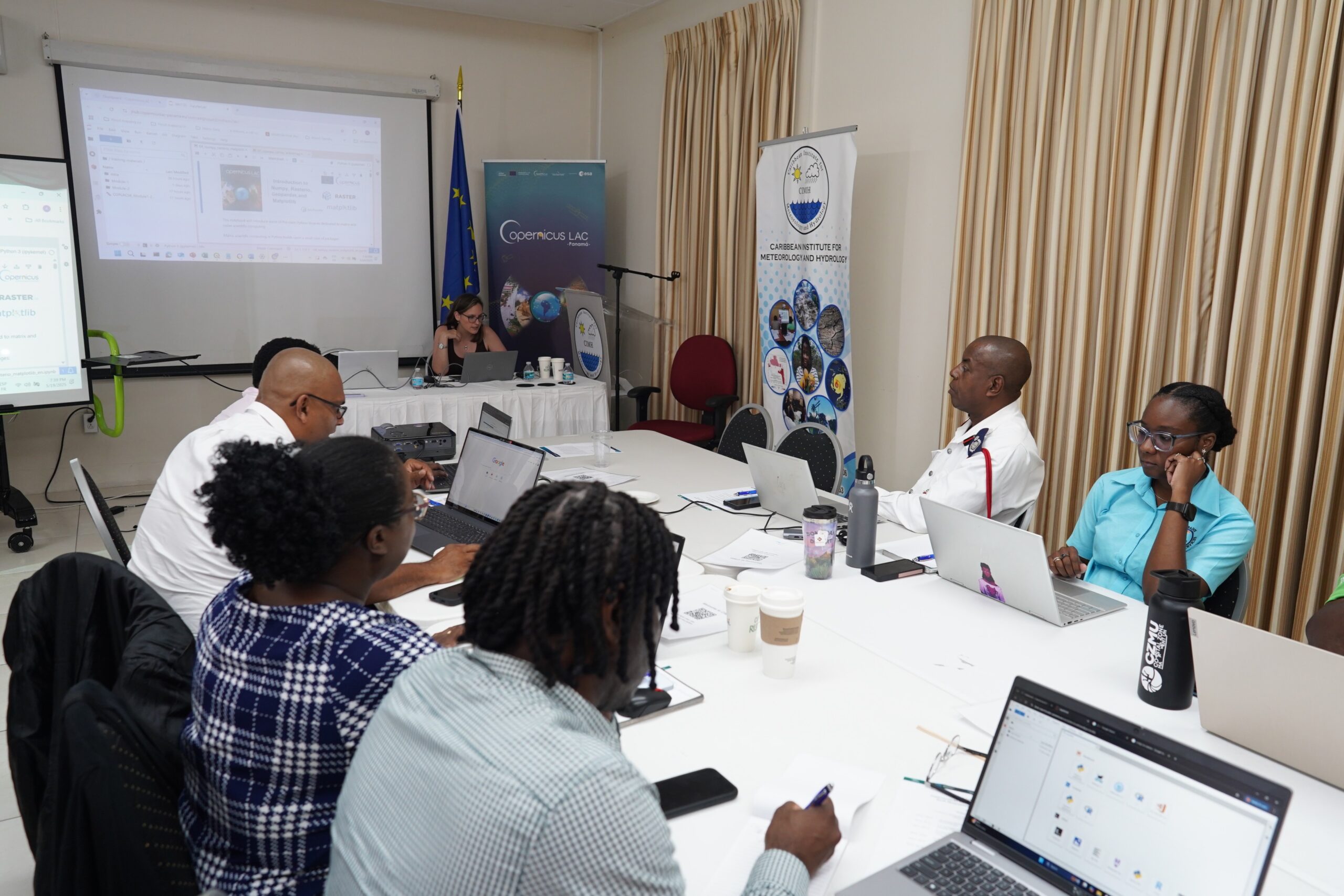
29 participants from 13 Caribbean countries are participating in this hands-on training, to strengthen their technical capacities and work towards greater resilience to disaster risk across the Caribbean.
As the Caribbean is preparing for yet another hurricane season, a new regional training initiative is supporting disaster management professionals improve how they prepare for and respond to intensified climate-related threats. 29 participants from 13 Caribbean countries have gathered in Barbados for a five-day course focused on harnessing satellite data to strengthen emergency planning and resilience.
Hosted at the Caribbean Institute for Meteorology and Hydrology (CIMH), this training introduced participants to accessible, free European Union Copernicus tools for analysing Earth Observation (EO) data and satellite imagery and turning this information into practical insights for real-world decision-making in the event of a disaster. Copernicus is the EU’s Earth observation programme, offering services based on satellite and ground-based data that are freely available to all.
Participants from Barbados and across the region – including Antigua and Barbuda, Bahamas, Belize, Cuba, Dominica, Dominican Republic, Grenada, Guyana, St. Kitts and Nevis, St. Lucia, St. Vincent and the Grenadines and Trinidad and Tobago – gained hands-on skills, as these tools that can help civil protection agencies, meteorological services, and planning offices assess risk exposure, monitor environmental changes, and respond more effectively to emergencies.
It was organised by the EU’s CopernicusLAC Panama Centre in close partnership with the European Union Delegation to Barbados, the Eastern Caribbean States, the OECS and CARICOM/CARIFORUM, the Caribbean Disaster Emergency Management Agency (CDEMA), the Caribbean Institute for Meteorology and Hydrology and the Caribbean-EU Cooperation Facility, implemented by FIAP.
Malgorzata Wasilewska, Ambassador of the European Union to Barbados, highlighted: “By providing public institutions with access to reliable data and the skills to use it effectively, this initiative is contributing to a stronger, more prepared Caribbean—better equipped to anticipate risk and protect communities”. Claudia Herrera, Stakeholder Engagement Officer at the CopernicusLAC Panama Centre, stressed the importance of this kind of training programmes, as “there is clear evidence that the use of Earth observation data not only increases response efforts in the face of extreme events, but also plays a crucial role in strengthening disaster preparedness policies and systems”.
Also, FIAP’s Director, Francisco Tierraseca, added that “as a public sector entity and agent of European cooperation, at FIAP we firmly believe in the power of action of partnerships between different actors and specially the mobilisation of public expertise and public knowledge for the exchange of good practices and learning between administrations. This workshop is an excellent example of this”.
Furthermore, Elizabeth Riley, Executive Director at CDEMA, understored the benefit of Earth Observation Data,as its impact has already been proven, saying: “In 2024 alone, Copernicus services were leveraged by the Regional Response Mechanism coordinated by CDEMA to support decision-making and response during Hurricane Beryl and the unprecedented wildfires in Belize. These examples demonstrate the power of geospatial intelligence in enhancing situational awareness and coordination during crises”.