


24/09/2026
In recent years, the country has strengthened its technical and administrative capacities thanks to European cooperation.
A modern land administration system needs to link information about the territory with data on the rights associated with each property. Plots, boundaries, buildings and other geographical features must be linked to information on owners, rights, restrictions and transactions. This link strengthens legal certainty and facilitates planning, land management and the provision of public services.
In Jordan, the Department of Lands and Survey (DLS) is the body responsible for land administration and the cadastre. In recent years, the country has strengthened its technical and administrative capacities and has a geographic information system (GIS) in place to manage parcels, administrative boundaries, buildings, parcel points and geodetic reference systems.
Jordan has over a decade of international cooperation in land administration behind it. Between 2011 and 2013, it carried out a twinning project with Sweden (Lantmäteriet) and Poland (GUGiK), focusing on the development of an integrated cadastral system, secure digital registers and maps, and land valuation methods.
Between 2016 and 2018, a second twinning project, involving Sweden and the Netherlands and with a budget of one million euros, worked to reduce discrepancies between the physical reality and the cadastral map data.
This work continues with the project ‘Strengthening the Land Administration Framework in Jordan’, funded by the European Union and implemented by Croatia as the lead Member State, together with the Netherlands and Spain, in close collaboration with the DLS.
The project aims to modernise land administration, strengthen institutional capacities, support digital transformation and improve the quality, transparency and efficiency of public services.
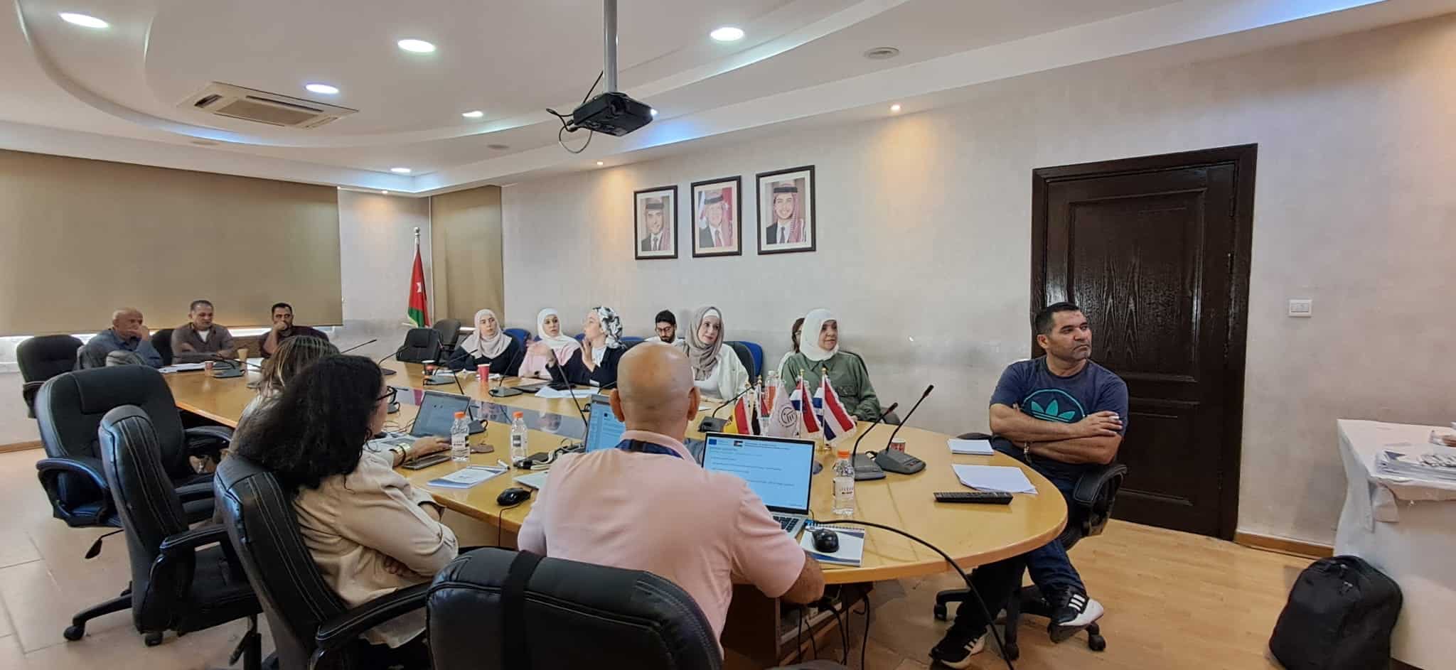
In February 2026, experts from Spain’s Directorate-General for the Land Registry carried out a technical assessment of the Jordanian system, analysing its technological and functional architecture, cadastral and registry components, workflows, infrastructure and governance.
The analysis highlighted the robustness of the existing infrastructure and its evolution towards a technological environment integrated into the government platform managed by the Ministry of Digital Economy and Entrepreneurship. At the same time, it identified areas for further progress: the modernisation of the data model, the digitisation of historical archives, the automation of geospatial processes and the improvement of information on addresses and buildings.
It is within this framework that Activity 3.1.3 / Mission 3.1.3.3 is being carried out, contributing to the design of the DLS’s future technology roadmap based on lessons learnt and European best practices.
The work addresses the integrated management of cadastral information, interoperability between systems, the dissemination of information, the historical traceability of data, data protection and digital services for citizens. It also seeks to strengthen links between institutions such as the Ministry of Finance, the Municipality of Amman and the Ministry of Digital Economy and Entrepreneurship.
Land administration must provide answers to three fundamental questions: where each plot of land is located, who holds rights over it, and what legal uses or restrictions apply to it. Having reliable and interconnected land and cadastral information helps to ensure the security of property rights and property transactions, and provides public authorities with a basis for land-use planning and management.
Therefore, modernising land administration is not merely a matter of incorporating technology. It also involves building an infrastructure of institutional trust that contributes to legal certainty, investment and access to credit, and enables more efficient and transparent land management. For Jordan, this means continuing to reduce discrepancies between the physical reality and cadastral information, and making progress on interoperability between public administrations in the face of urban growth and the increasing demand for reliable and up-to-date land information.